Which Landscaping Zone am I in? - Here is an easy-to-read map
Which Landscaping Zone am I in? - Here is an easy-to-read map

What is the plant hardiness map?
The plant hardiness map is a map of the annual minimum winter temperature, divided into 10-degree F zones. It's a color-coded zone map based on the average yearly minimum temperatures. The USDA Plant Hardiness Zone Map is a tool that helps gardeners determine what plants are best suited to their geographical area.
The USDA recommends that gardeners take into account the temperature zone of their area when planting trees and other plants. In order to find your zone, you need to assess the minimum temperatures in your area during the winter months. While every plant may not be suitable for your zone, there are hardiness-zone categories that exist based on geographical location and average annual minimum temperature. Here is the list of zones:
● 1a - -60 to -55 °F
● 1b - -55 to -50 °F
● 2a - -50 to -45 °F
● 2b - -45 to -40 °F
● 3a - -40 to -35 °F
● 3b - -35 to -30 °F
● 4a - -30 to -25 °F
● 4b - -25 to -20 °F
● 5a - -20 to -15 °F
● 5b - -15 to -10 °F
● 6a - -10 to -5 °F
● 6b - -5 to 0 °F
● 7a - 0 to 5 °F
● 7b - 5 to 10 °F
● 8a - 10 to 15 °F
● 8b - 15 to 20 °F
● 9a - 20 to 25 °F
● 9b - 25 to 30 °F
● 10a - 30 to 35 °F
● 10b - 35 to 40 °F
● 11a - 40 to 45 °F
● 11b - 45 to 50 °F
● 12a - 50 to 55 °F
● 12b - 55 to 60 °F
● 13a - 60 to 65 °F
● 13b - 65 to 70 °F
Why is this map important?
Do you want to plant anything? It's important.
You need to know your climate and what plants will like it. The map tells you which plants are good for your area. It's a convenient way to find out which plants will survive your area's harsh conditions.
Where can I get more information about this hardiness map?
The USDA has lots of information on its site. You can get higher resolution maps generated in real-time for your state.
The map is based on the USDA Plant Hardiness Zone Map. Below is a link to the USDA website where you can access this information.
https://planthardiness.ars.usda.gov/
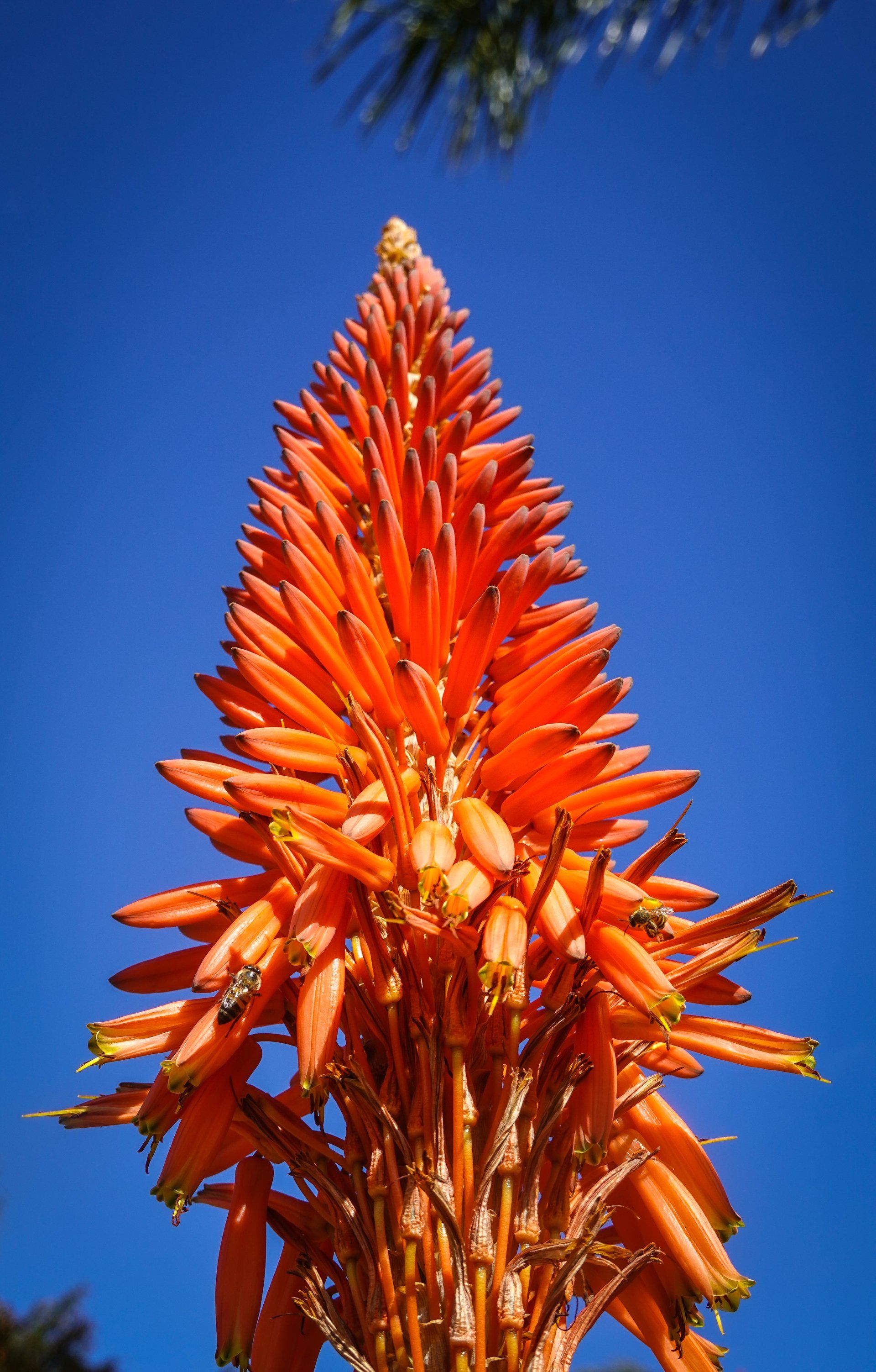
How do I choose plants based on this map?
You can either contact us for a quote on landscaping design services or consult our blog for information on choosing the best plants for your climate.
The first thing you need to know is what your climate zone might be. There are twelve zones and they go 0 to 11 with 10 being temperate. Zone 11 for example has the coldest temperature of -15°C (5°F). You can easily find out what your climate zone is here on the USDA maps.
So, once you know your zone it becomes quite easy to find plants that might do well in your area. Just look up what that plant needs and compare it with the information on our map like hardiness as well as exposure for tolerance of sun, wind, etc.
Is this map accurate?
This map was developed by the USDA in conjunction with some academic institutions. It is the most accurate map available for the United States. While it was originally designed to aid in agriculture, it is also a useful tool for landscapers and property owners who are looking to add shade trees or other ornamental vegetation to their property.
Most of the zones on this map will be fairly accurate, however, some local factors can play a role in determining which plants are best suited for your property. More experienced landscapers, arborists, and gardeners may be able to make recommendations based on their local experience that could help you select plants based on this map.